 vesseltracker.com
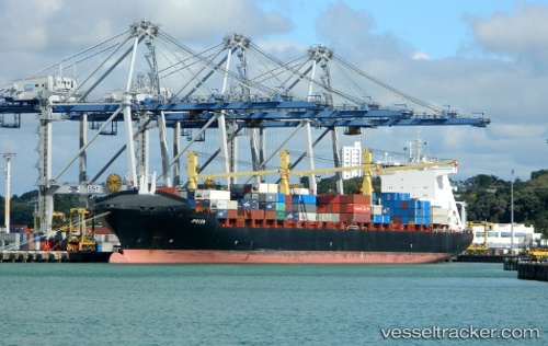
Vessel '255806481' IMO: 9246700, MMSI: 255806481
UTC, 45.80416, -44.74253, course: 59, speed: 19.9
UTC, 46.18482, -43.74506, course: 62, speed: 18.9
2026-02-05 18:29:37 UTC, 46.50436, -42.89406, course: 61, speed: 19.1
Live AIS position:
UTC. 48 nm W of Lower Sackville),
updated 2026-02-05 18:29:37 UTC.
Find the position of the vessel '255806481' on the map. The latter are known coordinates and path.
marine traffic ship tracker show on live map
The current position of vessel '255806481' is 46.50436 lat / -42.89406 lng. Updated: 2026-02-05 18:29:37 UTCDetails:
Last coordinates of the vessel:
UTC, 45.51167, -45.49167, course: -1, speed: 18UTC, 45.80416, -44.74253, course: 59, speed: 19.9
UTC, 46.18482, -43.74506, course: 62, speed: 18.9
2026-02-05 18:29:37 UTC, 46.50436, -42.89406, course: 61, speed: 19.1